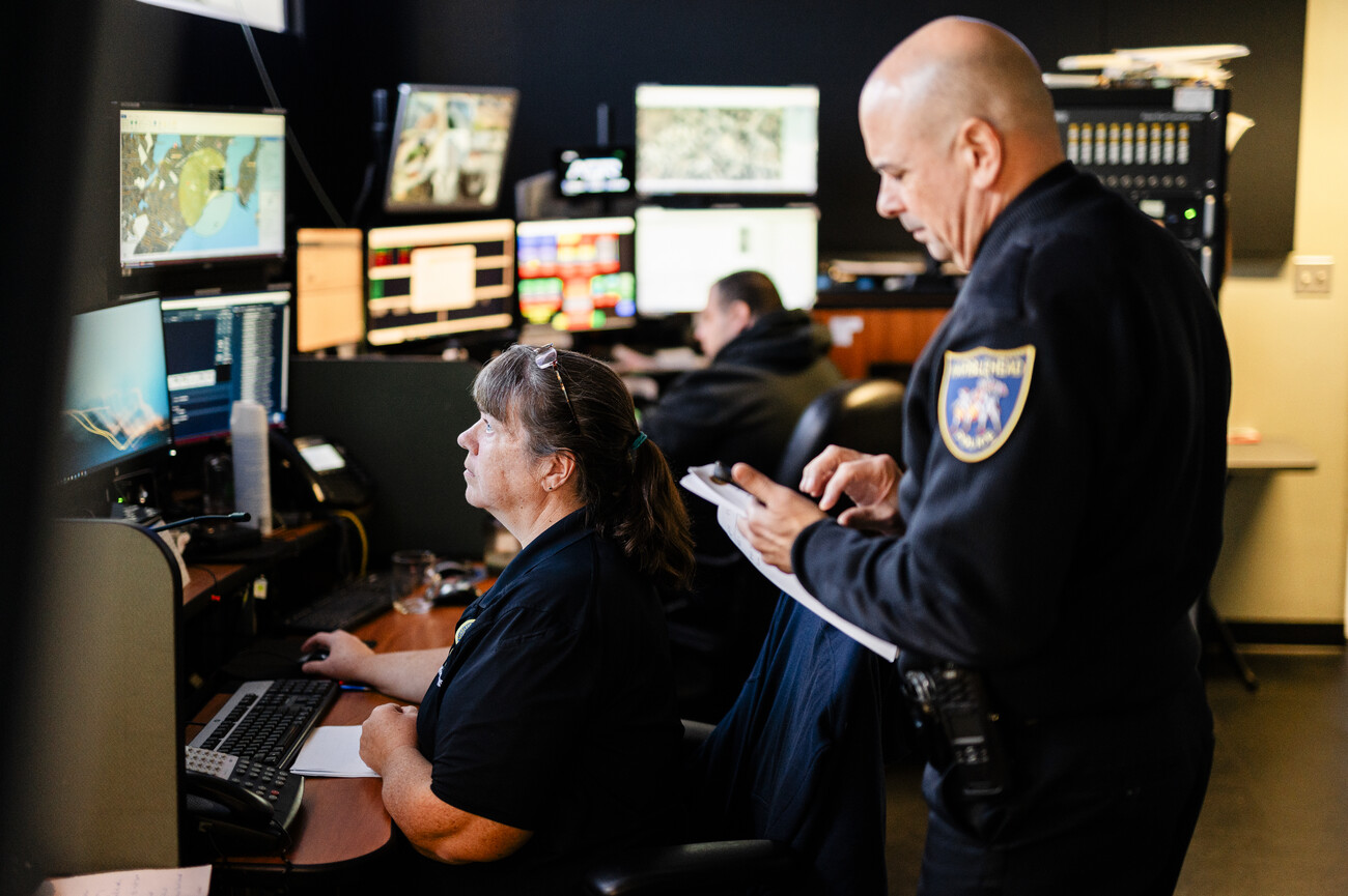
For their work in ensuring quick and effective emergency responses and dedication to public safety, Marblehead’s dispatchers were honored in Charlotte, N.C. with a People’s Choice Award by the National Alliance for Public Safety GIS Foundation.
The award was presented at the foundation’s 2023 Innovation Summit for Preparedness and Resilience conference last week. According to a joint statement from the Police and Fire departments, the town’s “interactive ArcGIS online dashboard, used to triangulate callers’ locations better, reduce response times, and increase multi-agency coordination to minimize property damage and save lives during emergencies, stood out.”
In the statement, Police Capt. Matthew Freeman acknowledged the important role that dispatchers play in emergency response.
“When minutes can mean the difference between life and death, 911 dispatchers must be able to identify callers’ needs and locations rapidly to send the appropriate help,” Freeman said.
The GIS dashboard has been a joint project put together by the town’s Police and Fire departments, as well as town officials and various departments and boards. Dispatch Supervisor Amy Gilliland said the conversation to improve the town’s emergency response was sparked after an incident involving an out-of-town woman in distress on a boat who wasn’t able to pinpoint her location.
From there, an effort was made to create a system that could put first responders in the virtual shoes of people in need and identify their location faster. After a summer-long joint effort, dispatchers and first responders now have access to thousands of data points using the town’s geographical and historical information to assist in a wide variety of responses.
Gilliland was able to capture and record data on the town’s 845 fire hydrants. That information allows dispatchers to inform firefighters of all hydrants within 700 feet of a given location, as all fire trucks are equipped with 750 feet of fire hose.
Other dispatchers helped in capturing thousands of photos of bike and hiking trails in the area. Even town employees and officials provided assistance as well during these projects. Historical Commission member David Krathwohl assisted in providing information on trails, both past and present, as well as conservation-area entry points. With this information, dispatchers in town were able to overlay images of trails and landmarks that will help narrow down search areas for lost or injured people.
“Armed with only their wits, like dispatchers often do, they were able to quickly make a need assessment, and put a plan in motion to create a tool that provides real-time data to first responders when it counts,” the statement read.
The new system can even pinpoint the exact location of a tree branch that is blocking the road, and has a registry of all owned dogs in town in the event that some go missing.
At the conference, attendees were left with an appreciation for Marblehead dispatchers’ ingenuity and resourcefulness, according to the statement.
The GIS system is being methodically worked into the town’s emergency response, with it having just graduated from a “beta” version. Gilliland added that the hope is that it continues to evolve as first responders provide feedback on what other data points they would like to see added to continue to improve response times and their effectiveness.

